PhD in Geomatics


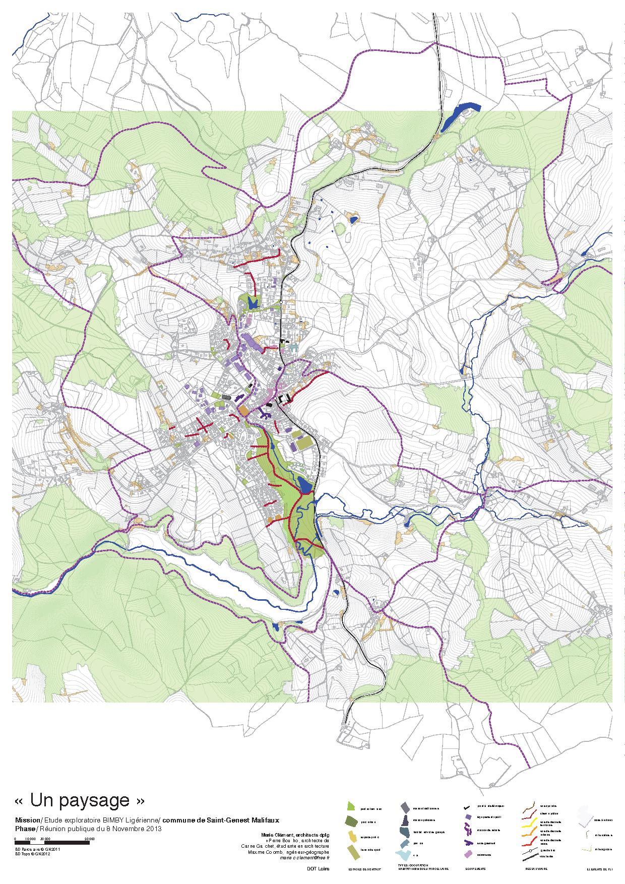
Maps are a proper scientific way of communication. This representation is used in many areas and the semantic of the representation is codified. Appeared several centuries ago, mapping technologies have reached a new milestone in recent years with the numeric data revolution and it’s general use of geocoded information. The softwares which are processing those data are called Geographic Information Systems (see box) and have also gain from the technological evolutions.
I offer my services to produce quality maps which respect the semantic codes of cartography. Data have to be wisely organised and displayed in order to efficiently express the main informations. Many structures are still uninformed of the diverse possibilities of GIS software. As using the appropriate tool is always better, the benefits of acquierering professionals for these tasks are time saving and an undeniable guarantee of quality.
A GIS (Geographical Information System) is a software designed to capture, store, manipulate, analyze, manage, and present all types of geographical informations. Maps and layers of geometrics objects are linked with databases. Those links allows to operate large range of tasks on the visualization of the maps and on the databases itselfs. GIS are more and more used in a lot of areas.